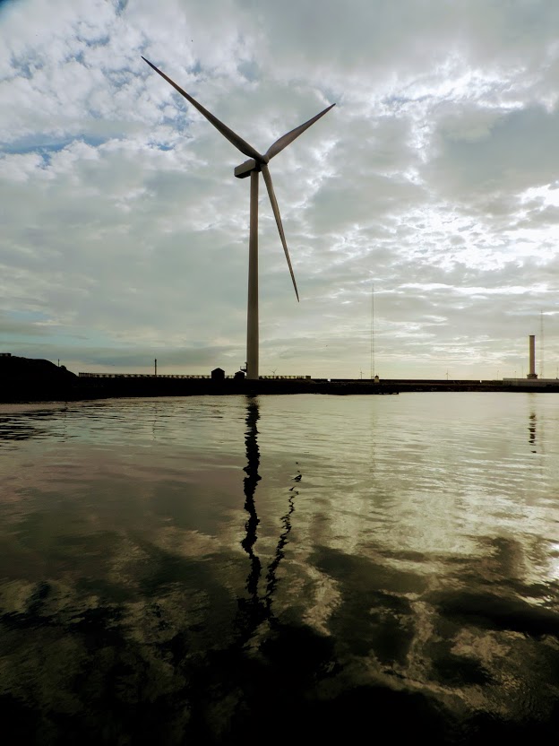
I had a good night’s sleep at the Oddfellows and after a hearty English Breakfast I set off along the Blyth river to the crossing a few miles up. The port was once one of the principal shipbuilders in England, having built the first Aircraft Carrier, the Ark Royal, and was once Europe’s largest coal exporter, however it declined rapidly in the 1960s with the closure of the railway and the drop in demand for coal. Today the port handles 1.5m tonnes pa, mainly containers and some bulk cargo.
It was quiet this morning, hardly a soul to be seen apart from a solitary fisherman.


Rejoining the road, I caught a last glimpse of my accommodation to start the long walk to the bridge. It was a three mile slog along dock roads, paths and riverbank until the crossing came into view, not an inspiring walk first thing in the morning, but by far better to get it out of the way first than have it to end a day’s trek. Eventually I reached my goal and crossed the river, taking a last look back downriver.
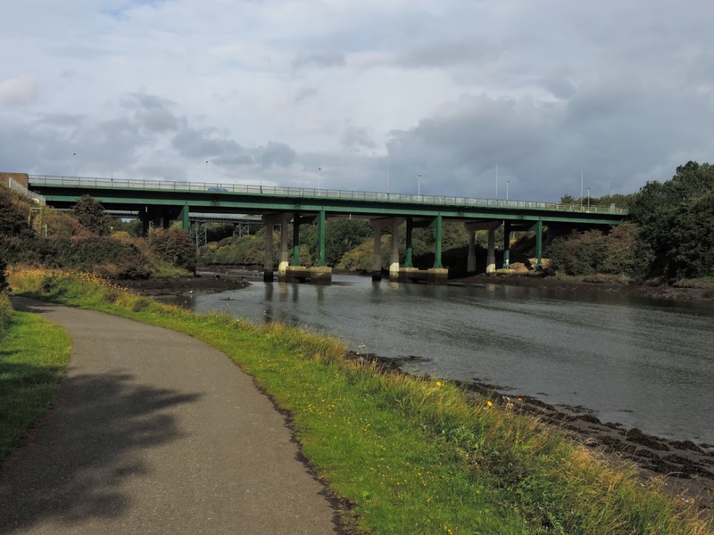

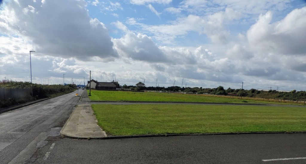
However, the drudge was not over, if you walk upstream, you must by definition descend the river as well. The scenery on this part of the walk was even less inspiring, as I negotiated bypass after bypass until I finally walked down a long straight road to reach the coastal village of Cambois. It was clearly once a thriving mining community, with a miner’s hall, and a large empty space nearby where once rows of terraced houses stood. Nowadays the work is at the port in Blyth, the north part of which can be reached here.

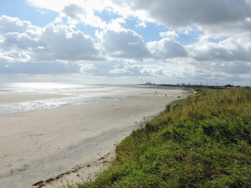
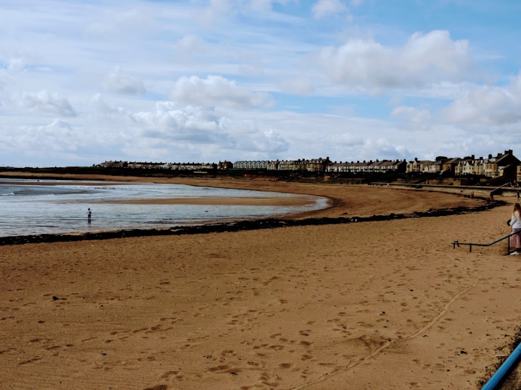
Crossing the goods line, I reached a typical golden sanded Northumbrian beach, with the port of Blyth teasing me in the near distance. Having walked seven miles to get one mile north. At least the route now was largely coastal, and by the look of it, scenic, with azure skies.
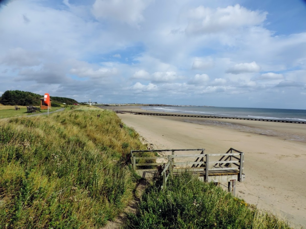
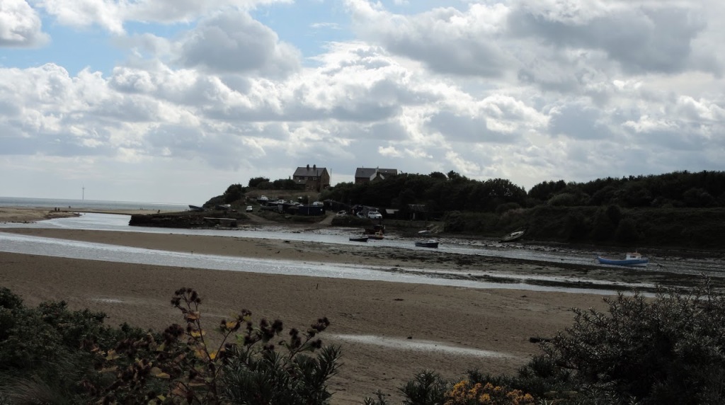
Walking the sand, which was firm near the sea, I could see Newbiggin in the distance, and harboured hopes of being able to ford the Wansbeck river which I could see ahead of me.

However, on nearing the river, it looked deep and fast flowing. In theory it was fordable, but I decided to wimp out and go upstream and find a bridge. I didn’t fancy sinking in some mud halfway across. Sweetly this place is known as Sandy Bay. Which it is.


The footbridge over the river was built in 1975, and transformed the river into a country park. In theory it has a lock and is navigable, but little use is made of the passage. The water was fast flowing, and I played with different shutter speeds to capture the foam.
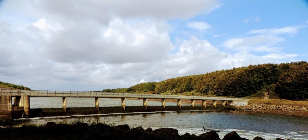

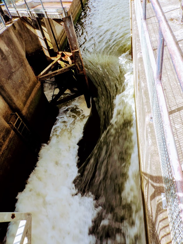
Upstream the estuary had the look of a lake, wide and peaceful, whilst downstream the A189 road bridge gave views to the bay.


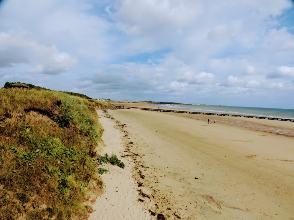
Returning coastwards, Cambois looked peaceful and I set off along the dunes towards Newbiggin. Fortunately a little further along there was a caravan park with shop and I was able to refuel. Today being much warmer (although in Manchester there were storms) I was getting thirsty and had already drunk most of my supply of water.
It wasn’t long before I reached the outskirts of Newbiggin, and the longest promenade in Northumberland wound around the bay infront of me, with the Church of St Bartholomew visible in the distance.


There were some smart new des res houses overlooking the bay as I walked along the promenade towards town. John Braine wrote Room at the Top whilst working at Newbiggin library, and more recently I read that Leo Sayer appeared here. That is far too much excitement for one day.

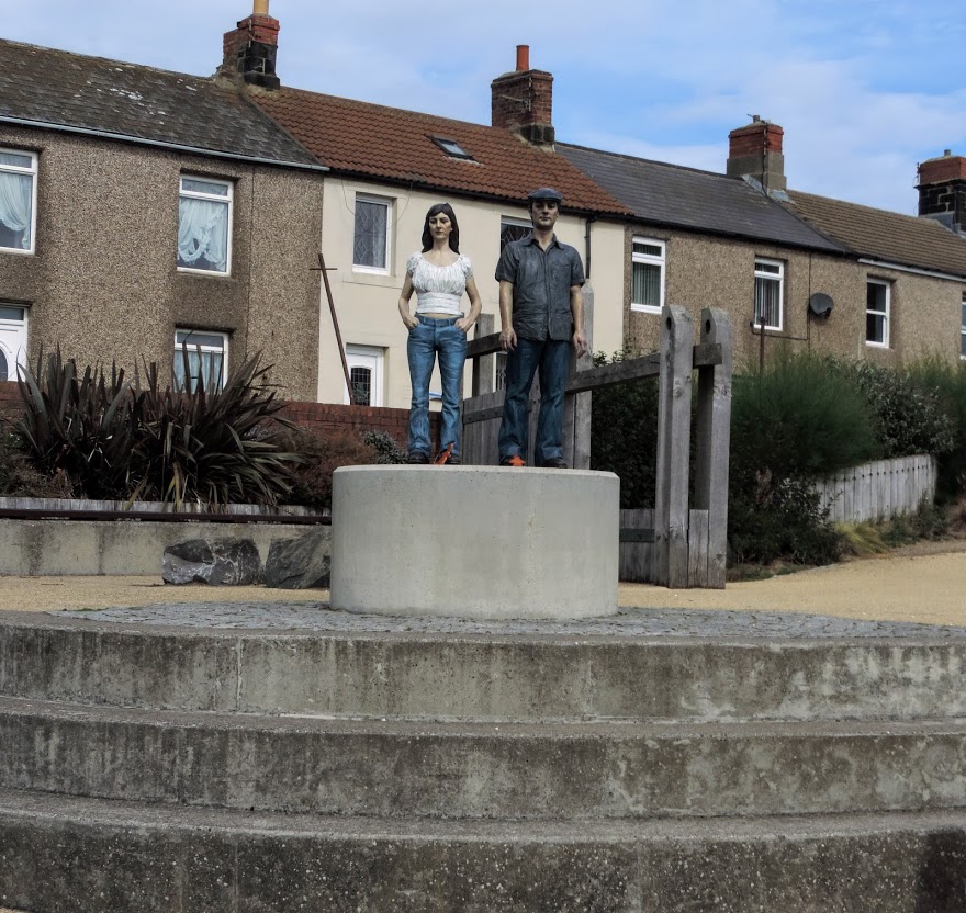
I liked Newbiggin, it was busy, yet still genteel. Ice cream was for sale at the shops, but the queues were too long. As part of the renewal process Sean Henry was commissioned to produce a sculpture recalling the glory days of the resort, and The Couple dominates the bay, with a smaller land couple just off the promenade.


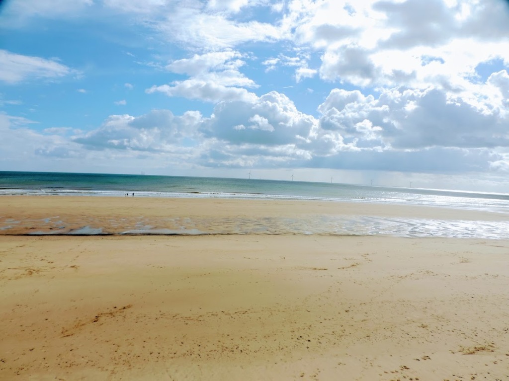
Taking my farewell of the town, I felt now that I was in Northumberland proper, golden sands, cold sea, and gorgeous views.
And of course, what does every town need, a gnome garden.

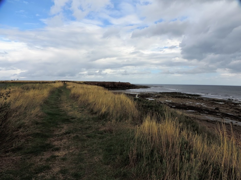
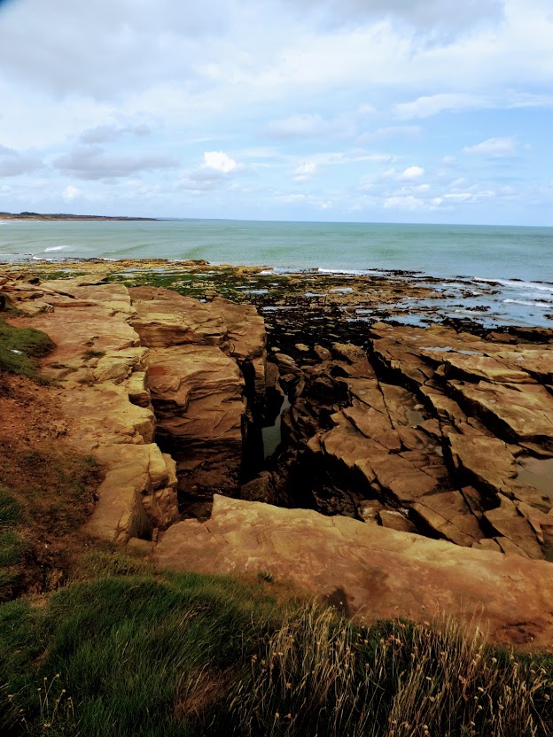
The path now skirted the golf club for the next mile, so I dodged golf balls whilst enjoying more peaceful dunes, and interesting rock formations.

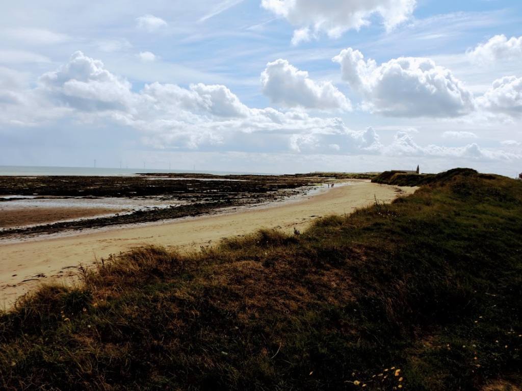
The legacy of mining is still visible at the Lynemouth water treatment plant. When pumps are switched off at a mine, the groundwater starts to rise, collecting minerals which could irreversably pollute drinking water. The plant cleans this water, and disposes it safely in the sea. Given the colour of water at the end of the process, I dread to think what it looks like before it is deemed safe.


Along with the plant there were old WWII bunkers to protect the coast. This part of the country was strongly defended during the war, because of the important industry that once was here.

Amidst all this industrial decline, the beach was still a haven for dog walkers, the blue sky contrasting with the golden sands.


This last four miles started getting difficult. As you near the end of the walk time does seem to slow down and long straight roads become endless. As the cliff path was deemed dangerous, I followed a road path into Cresswell which never seemed to approach any closer. Eventually I walked past the caravan parks into the centre of the village, and it seems the start of the Northumberland Coastal Path proper (although why they don’t include the whole stretch North Of the Tyne is beyond me.)
Before catching the bus, I treated myself to a well deserved ice cream at Cresswell Ices, which I commend to you.

Sitting at the bus stop I could see the dunes of Druridge bay, my third favourite beach in Northumberland, and by definition in the world. A long 90 minute journey by bus followed back into Newcastle, and train back home. However, today I covered a good 15 miles, making 1,252 in total, and 718 along the coast. Map below, video here.

© Allan Russell 2020.
